
Skykomish Airport Runway.
Airport Alert
Exceptions: Spring rain and mountain runoff cause wet surface and mushy field conditions. Access may not be suitable for some aircraft. Use caution.
Check NOTAM’s for official open date that amends FAA Chart Supplement published June 1 open date.
Contact the State Airports Manager at paul.wolf@wsdot.wa.gov or 360-618-2477 for additional questions.
Note: Summer emergency firefighting staging operations is possible at this airport. Check NOTAM’s, TFR’s and contact Airport Manager for fire related activity updates.
Location
ID
Sponsor
Weather information
Rules
 Camping
 Picnics
 Fire rings
 Outhouse
 No water
 Facilities
Airport Cameras
Available information for airport
Located just east of the town of Skykomish, the airport is within one mile walking distance to food and lodging and has a quaint small-town atmosphere.
There is ample aircraft parking area suitable to facilitate small club fly-ins. Occasional forest fire fighting activities may occur in the summer.
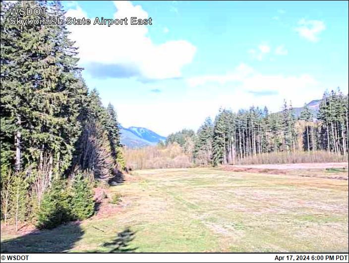
The 2,050-turf runway is mowed at least twice through the spring and summer. The runway is slightly rough and has a slight uphill slope to the east. The runway retains water extremely well due to high spring ground water levels and is soft when wet and potholes can be present.
The 100-foot-wide runway is marked with edge reflectors.
There are areas to pitch a tent, and access to several picnic tables, two fire rings, and an outdoor pit toilet. Black bears do visit the airport and neighboring waste transfer station, so be sure to cache food in a secure location. Bear proof food lockers are not available at this site.
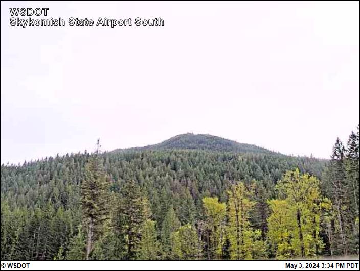
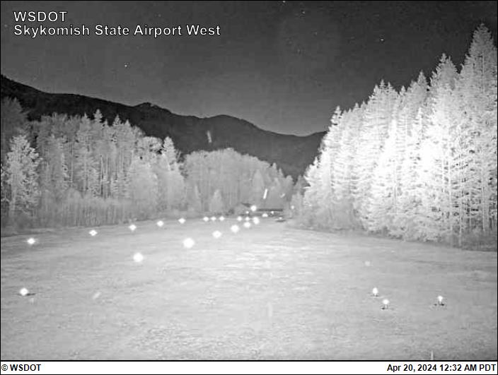
Trees and mountains surround the airport and trees are tall on the west end requiring a modified approach. An obstruction survey is in progress, and we will be working with our neighbors to negotiate removing the tall trees on the west end.
The field elevation is estimated at 1,002 feet MSL. Hot weather can present some density altitude problems. The airport is generally open by June 1 to October 1.
This airport has been adopted by the Washington Pilots Association, Paine Field Chapter.
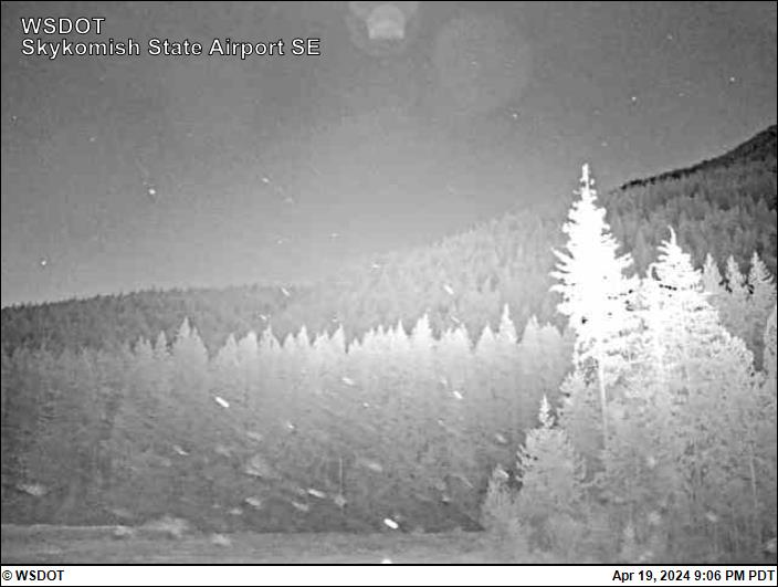
The airport web camera is owned and operated by Washington State Department of Transportation (WSDOT) Aviation, and is mounted next to the windsock, located on the North side about midfield. The camera provides four views: East, Southeast, South and West directions along with a time/date stamp. The camera operates 24 hours a day with the images updating every 15 minutes.
To report a problem with the camera contact: Paul Wolf, 360-618-2477 or email paul.wolf@wsdot.wa.gov.
All information subject to use disclaimer.
Aviation disclaimer: The web cam images are being provided as a service for pilots to view current airport conditions. They should not take the place of a pilot’s responsibility for obtaining a regulatory compliant weather briefing prior to flight from automated resources or from Flight Service.